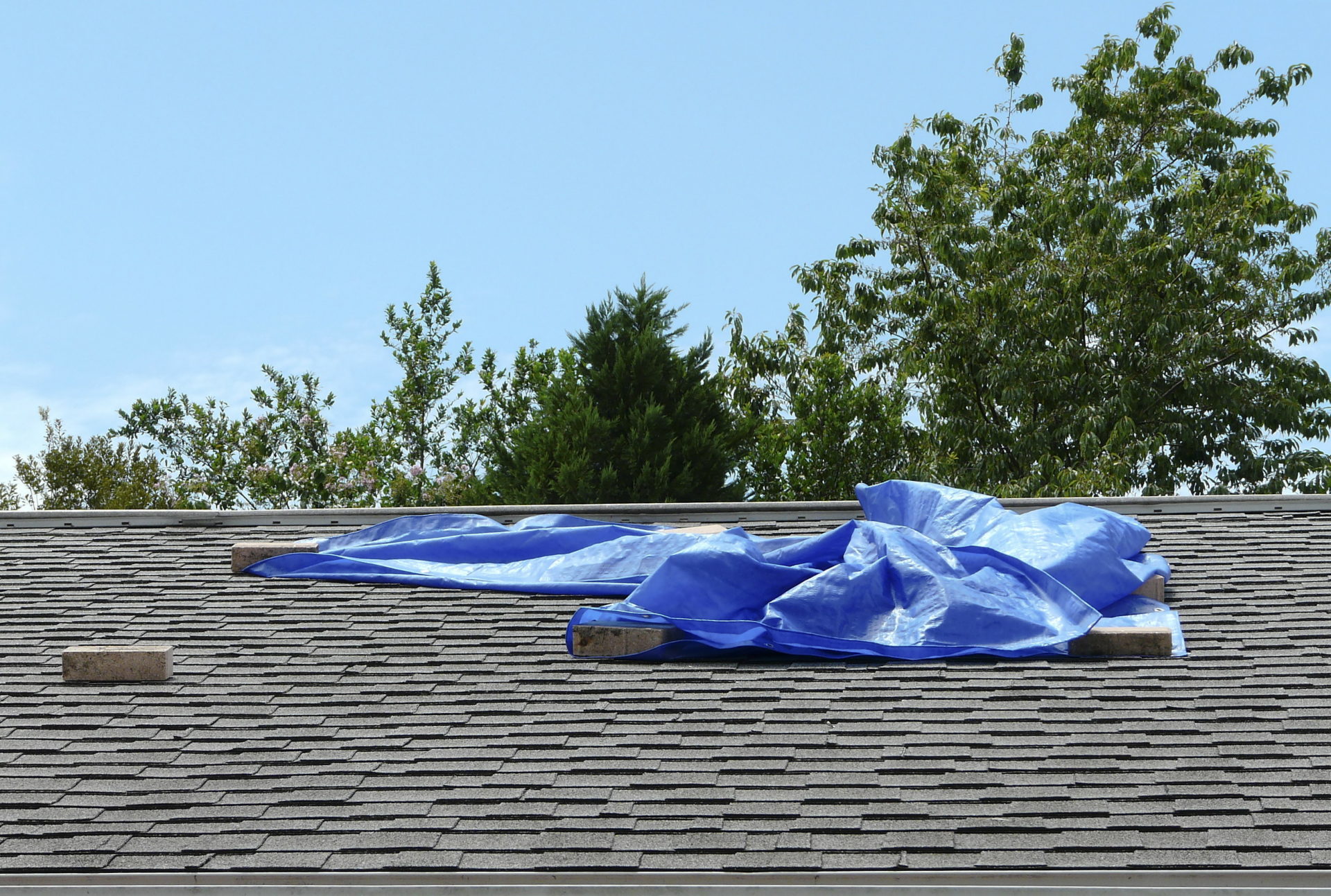
A leak you can see inside started somewhere you cannot
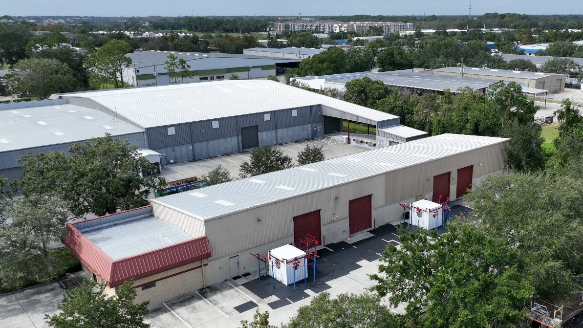
By the time water stains a ceiling tile inside a West End retail store, the actual entry point on the roof is usually nowhere near it, and the insulation in between has been wet for weeks. Tracing that on foot across a fifty- or sixty-thousand-square-foot deck is slow, it puts crew weight on a membrane that may already be failing, and it still misses the tight spots between clustered rooftop units and along parapet returns. We fly the roof instead. A drone holds a steady altitude and records the full surface in continuous high resolution, capturing every drain sump, seam, lap, pitch pocket, and penetration before anyone sets a boot on the membrane. For owners running several buildings around Billings, that turns a half-day climb into a clear, complete record of what they actually own, gathered from the air.
What the infrared camera reads that your eyes never will
The real power of an aerial roof inspection is the thermal sensor, and it works because of how heat moves. Wet insulation stores thermal energy differently than the dry board around it. Across a sunny day on the high plains the whole roof absorbs solar heat, and as the sun drops the dry areas release it fast while the saturated areas hold it. We schedule the infrared pass for that evening cool-down window, and the wet zones glow as distinct warm signatures in the image even when the membrane above them looks flawless from any angle. That one reading often settles the entire job. A small, contained wet area gets cut out, the deck dried, and a patch welded in. If the scan shows moisture spread across a third of the assembly, no surface patch will rescue it and the straight answer is a recover or a tearoff. Thermal mapping converts that call from a hunch into a measurement.
The Billings roofs this pays off on most
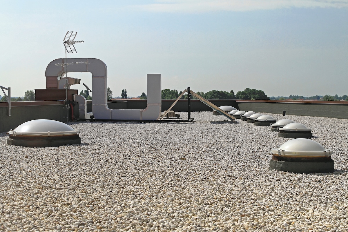
Aerial and infrared inspection earns its keep on the wide, flat decks that define commercial Billings. The warehouse and distribution buildings out in the Lockwood industrial area and along the rail lines carry acres of low-slope membrane no one ever lays eyes on from the ground. The big-box retail across the West End near Shiloh Road and Zoo Drive runs the same kind of roof. Hospital and clinic buildings around the Billings Clinic and St. Vincent medical district are strong candidates too, because pulling crews across an occupied healthcare roof for an invasive survey carries a real cost in disruption. Older built-up and gravel-surfaced roofs downtown along Montana Avenue hide moisture especially well beneath the aggregate, and infrared is often the only practical way to map what is wet without tearing into the surface. As a rule of thumb, any commercial roof past roughly ten thousand square feet that needs a genuine condition assessment is a better fit for a flight than a walkover.
Flying legally inside Billings airspace
Commercial drone work is regulated, and we run it accordingly. Our flights operate under the FAA's Part 107 rules with a certificated remote pilot in command on site for every mission. That matters here in particular, because a large share of the prime commercial and industrial inventory sits near Billings Logan International Airport inside controlled airspace, where flying requires prior authorization through the FAA's LAANC system. We secure that clearance before the aircraft leaves the case, hold visual line of sight throughout, check the wind and weather limits before launch, and keep the flight path clear of people and traffic below. The whole point of flying a roof is to take risk out of the inspection, not introduce a new one, and a properly cleared flight does exactly that.
A report your adjuster will actually accept
After hail or a wind event rolls across the Yellowstone Valley, whether a claim gets paid often comes down to documentation. We build the report straight from the flight so an adjuster can evaluate the roof without ever climbing it: GPS-tagged stills pinpointing each area of damage, hail-impact density across the field, wind-lifted flashings and displaced membrane, and the condition of rooftop equipment and edge metal. It is organized the way commercial property carriers expect, with every location tied back to a roof plan, so the whole package goes to the adjuster as one file. During storm season we move these flights to the front of the line and can usually turn the documentation around fast once we are on site.
From aerial data to a bid you can trust
The same data sharpens a reroof specification. Before we price anything, the flight gives us measured roof areas, a full count and location of every penetration and curb, and a documented record of existing conditions. All of that drops directly into the drawings, which means fewer surprises, fewer requests for information, and fewer change orders once the crew is up top. You are not bidding against guesses from a quick walkover; you are bidding against what is genuinely on the roof.
Building a baseline you can track over time
One inspection tells you the condition today. A repeated one protects the asset for years. We use the same workflow to set a documented baseline for a roof, then refly it on a regular cadence, typically in spring once the freeze-thaw season eases and again in fall before the snow loads arrive. Comparing the imagery and thermal maps year over year shows whether a small wet spot is holding steady or quietly spreading, whether a seam that was sound last season has begun to open, and whether ponding near a drain is getting worse. That trend record is what lets a property manager plan repairs against a budget instead of scrambling through an emergency. For an owner with buildings spread across the Heights, downtown, and the West End, a standardized flight on each roof produces a portfolio-wide condition picture in one consistent format, so capital goes to the roofs that truly need it first rather than getting spread evenly across roofs that do not.
- Full-coverage aerial imagery of every seam, drain, and penetration with zero foot traffic on the membrane
- Evening infrared pass that maps trapped moisture in the insulation to drive the repair-versus-replace decision
- FAA Part 107 flights with LAANC clearance near Billings Logan International Airport
- GPS-tagged, adjuster-ready storm reports tied to a roof plan and prioritized after hail and wind events
Book a flight
Whether you are setting capital budgets, chasing a leak you cannot pin down, or documenting storm damage for a claim, an aerial and infrared inspection hands you the full condition of your roof in a single visit. Call us to schedule a flight on any commercial building across the Billings area, and we will get you a clear, measured report on what is really up there.